Visit 10 Amazing Lighthouses In 4 Days
Imagine the gentle caress of a light breeze carrying the scent of the ocean, the sound of the rolling waves on the shore, and the sunshine surrounding you and softly warming you. Now think of the freedom and the peace those thoughts bring. If you want to experience that tranquility in your life, a road trip along the coast of Maine can get you there. There are a daunting total of 65 lighthouses along the coast of Maine, but you don’t have to visit them all to truly appreciate the beauty and magnificence of the coastline and these iconic structures. Take the trek up the coast of Maine with the following list of must-see lighthouses. You won’t regret it!
Day 1
1st Stop: Nubble Lighthouse (also known as Cape Neddick Light)
Cost to Visit Sohier Park Grounds: Free
Location: Sohier Park Rd, York, ME 03909
NOTE: You can easily click on the "location" links throughout this article to open each location on Google Maps. You can then choose to save these locations to help plan your own awesome lighthouse tour!
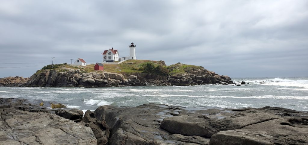
Nubble Light is a must see on any lighthouse road trip and luckily for the budget conscious traveler, there is no entrance fee. Situated on an island off the coast of Southern Maine, the Nubble Light is a picturesque backdrop for those sought-after memorable family photos. Visitors don’t have to walk far from the parking lot in Sohier Park to enjoy the magnificent view. In fact, you could enjoy the crashing sounds of the ocean and the beauty of the island from within your vehicle if you so choose. If you’re a little more adventurous, just a few steps from the parking lot is a beautiful landscape of large flat rocks begging to be explored. This rock walking adventure is tame and easily traversed by both adults and children, although the rocks can be wet and slippery, so you’ll want to wear appropriate footwear and walk with care. Be mindful that this area leads right out to the open ocean, so if you plan on incorporating this into your trip, keep an eye on your kiddos to ensure their safety.
This lighthouse is view only, as visitors are not permitted on the island, however, there are other activities available for entertainment. For anyone who’s built up an appetite, Fox’s Lobster House is within walking distance. You can enjoy the lighthouse view while chomping your snack, lunch, dinner, or dessert at their outdoor dining tables or take it with you. Adventure seekers can scuba dive any day except Sunday, and if that isn’t your pace, you can try bird watching or fishing. There is also a gift shop available May-October from 9am to 7pm for those who enjoy shopping for keepsakes. Another advantage to Nubble Light is that they welcome dogs, which is good news if you’re reluctant to leave your four-legged family member(s) behind.
2nd Stop (includes 2 lighthouses): Cape Elizabeth Light East Tower and Cape Elizabeth Light West Tower
Cost to Park at Dyer Cove to View Both Lighthouses: Free
Locations:
East Light: 15 2 Lights Terrace, Cape Elizabeth, ME 04107
West Light: 5 Beacon Ln, Cape Elizabeth, ME 04107
NOTE: Park at Dyer Cove for best viewing of both lighthouses. The parking lot is located near the East Light at the following GPS coordinates: 43.5647024, -70.1986885
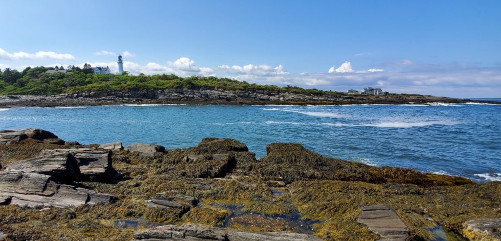
The next lighthouse on your self-guided tour is actually a two for one special. Both Cape Elizabeth Light West and Cape Elizabeth Light East are inaccessible to the public since they are both on private property, but don’t fret, because you can enjoy the view from afar. The West Light is a petite lighthouse located on Beacon Lane. Of the two, the East Light is definitely more photogenic. The best location to sneak a peek of this lighthouse is Dyer Cove, located at the end of Two Lights Road, just past The Lobster Shack at Two Lights. Parking for Dyer Cove is limited, so the sooner you arrive, the better. If the lot is full, consider dining at The Lobster Shack while you wait for space to clear.
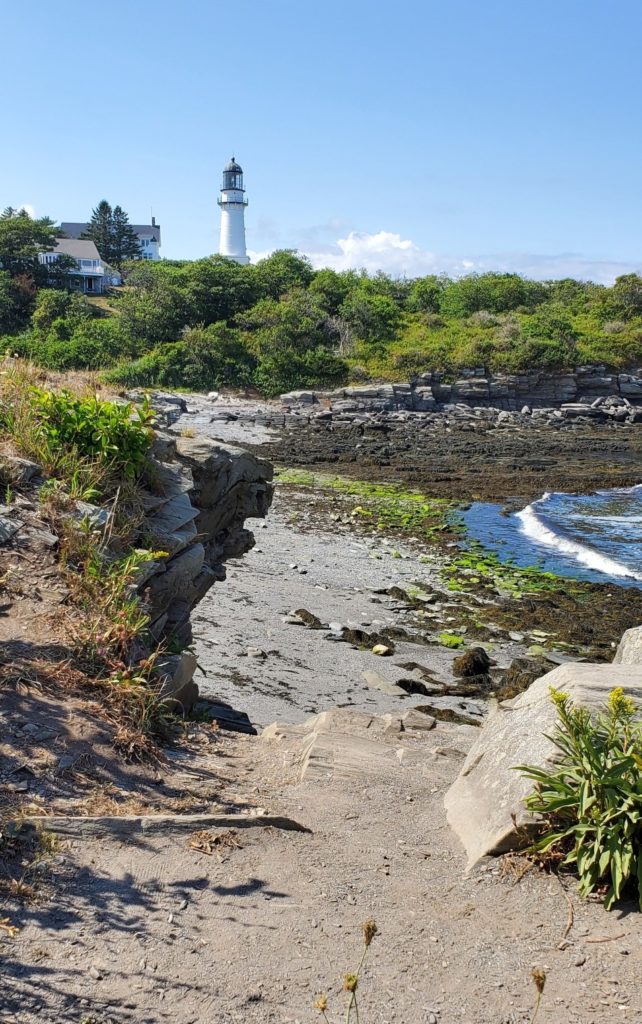
At Dyer Cove, climb over the small hill toward the east and you’ll be rewarded with a landscape of rocks to explore at your leisure. Dyer Point overlooks Dyer Cove and from here you will have a view of Cape Elizabeth Light East. The craggy rock formations are a fun place for children to climb and the tiny tidepools nestled in the nooks and crannies of the rocks are interesting to explore and examine. Family photos here are unique with the lighthouse, Dyer Cove, and this rocky outcropping as a backdrop. You can also choose to visit the “On The Rocks At Two Lights” area, which is located on the small rocky beach of Dyer Cove just past the parking lot.
Dyer Cove Tide Pools and Rock Climbing
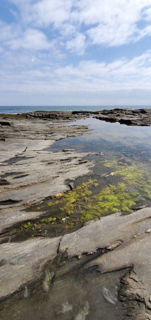
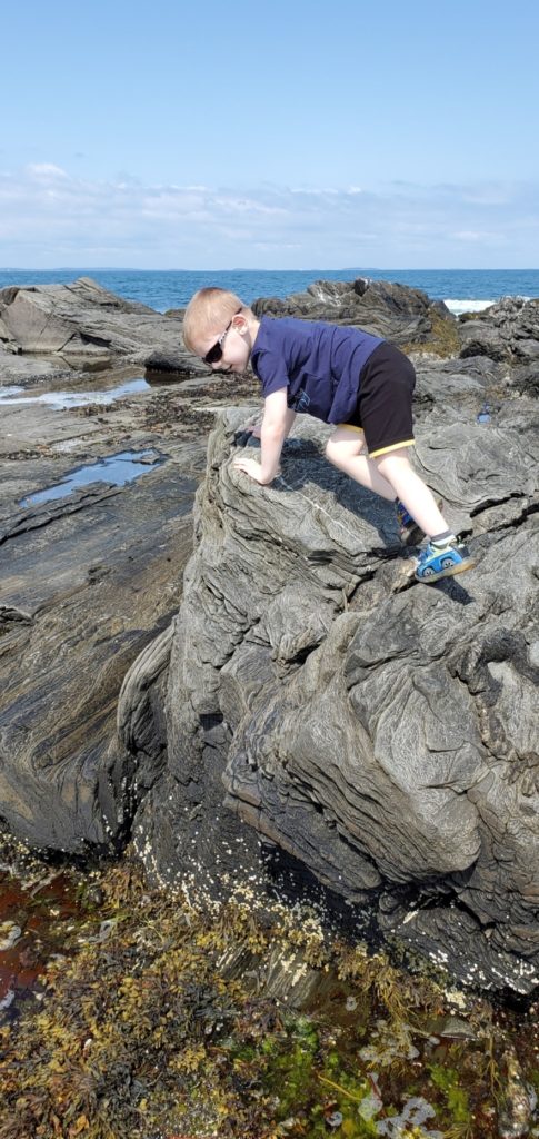
Honorable Mention: Two Lights State Park – for a little more adventure while at the Cape Elizabeth location, you can visit the state park just a short distance (approximately ½ mile) southwest of Dyer Cove.
3rd Stop: Portland Head Light
Cost to Visit Lighthouse Grounds: Free (No admission fee, but donations are appreciated. Free parking is available in the Fort Williams Park overflow parking lot)
GPS Coordinates: 43.6231181, -70.2078667

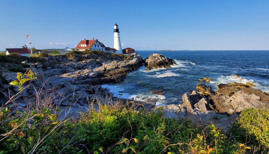
At Portland Head Light you’ll find that age is just a number. Built in 1791, this is the oldest lighthouse in Maine, but it is surely evident that the lighthouse has been kept up well. The Portland Head Light is one of the more popular lighthouses to visit as the location can accommodate a larger number of guests, but for visitors hoping to explore within the lighthouse, the opportunity is elusive. Maine Open Lighthouse Day is the only day each year that visitors are permitted within the lighthouse itself. Check their website for the most up-to-date information on the annual day of this special event.
Portland Head Light is located in Fort Williams Park, a 90-acre park operated by the Town of Cape Elizabeth. The grounds are impeccably well kept and there is ample parking available. For those with mobility issues, Portland Head Light has a loop with a few handicapped parking spaces. Even if those are taken, the loop is close to the lighthouse, so visitors unable to walk from the parking lot can be dropped off here.
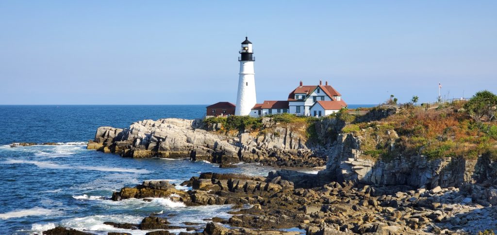
At the fork in the trail, like in the Wizard of Oz, you have 3 choices on which route you want to take along the paved trails. Unfortunately, there’s no scarecrow to tell you where to go, so you came to the right place for some answers. If you choose to venture south, the paved trail will lead you to Portland Head Lookout Point, which is a great and popular place to take photos with the lighthouse, the rocky coastline, and the crashing waves of the ocean. Travel east on the paved path and you’ll walk right up to the lighthouse itself, where you’ll find the museum and gift shop, and the restaurant Cousins Maine Lobster (there is also a food cart –Bite Into Maine– between the 2 main parking lots in Fort Williams Park).

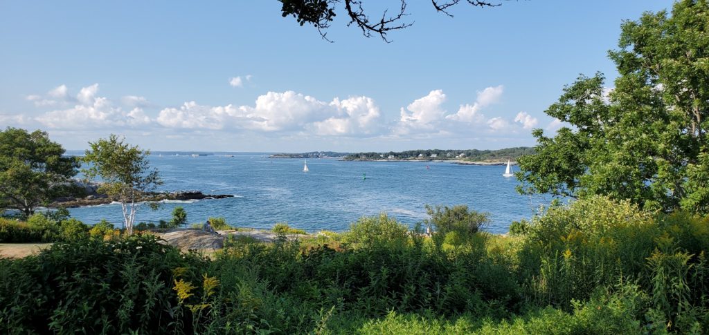
Choose the north leading path and in about 500 feet you’ll discover a small switchback trail down to a rocky beach. Although this trail leading down is slightly precarious, it is definitely worth the trek. Travelers should come prepared with appropriate footwear to decrease the risk of injury while climbing down to, and exploring the beach. Children especially enjoy playing with the large stones that have been worn smooth by the ocean. This is another photogenic place where you can take dynamic pictures of the lighthouse from below.
Where To Stay The Night: Brunswick, ME
Day 2
4th Stop: Doubling Point Lighthouse
Cost to Visit Grounds: Free
Location: Doubling Point Rd, Arrowsic, ME 04530
GPS Coordinates: 43.882529,-69.806777
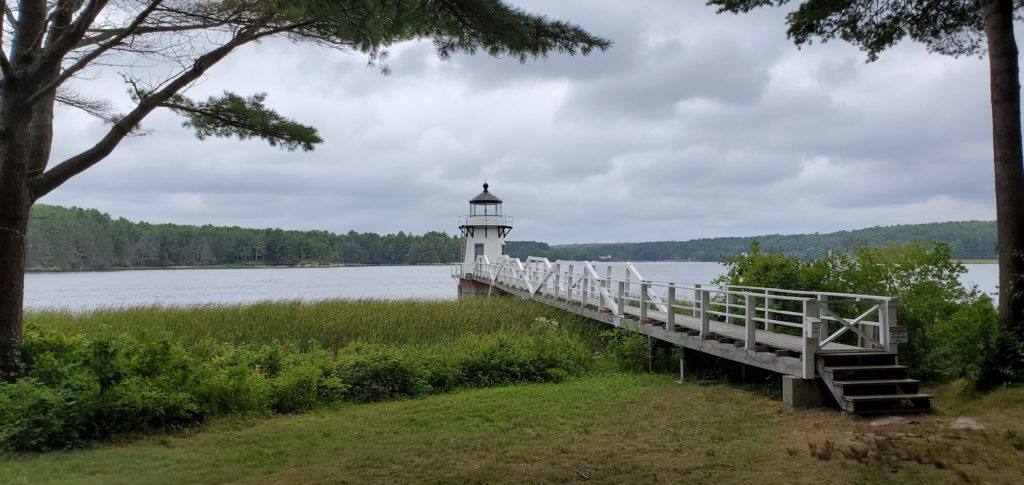
Tucked away in the woods on Arrowsic Island, at the end of Doubling Point Road, a lighthouse stands tall over the Kennebec river. This one is for adventurous travelers as the dirt road leading to the lighthouse is a single lane and the parking area is a small dirt bump-out at the end of the road. Doubling Point Lighthouse is privately owned, but they do allow visitors on the lighthouse grounds.
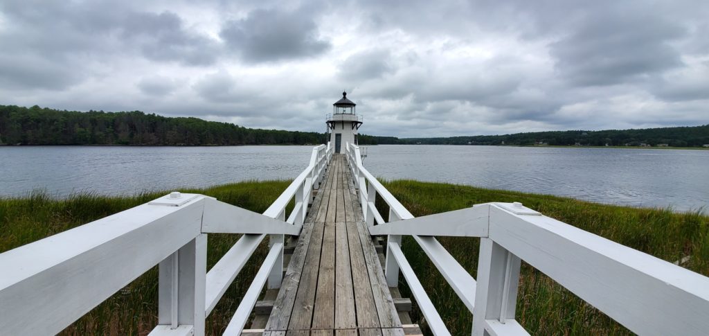
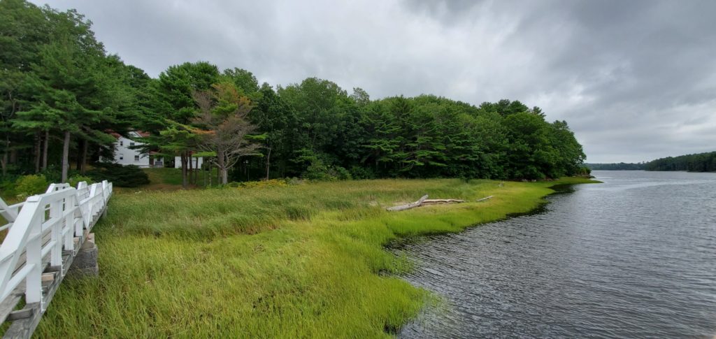
This secluded lighthouse is absent the crowds you’d encounter at many of the other lighthouse locations, which lends to the peaceful tranquility of the area. A beautifully well-kept lighthouse stands at the end of a 130-foot-long footbridge that extends over a marsh of cattails that dance in the wind. Doubling Point Lighthouse is petite yet picturesque, and is one of my favorites on the list.
5th Stop: Pemaquid Point Lighthouse
Cost to Visit Grounds: Fees range up to $3 per person depending on age or local residency
Location: 3115 Bristol Road, New Harbor, ME 04554
GPS Coordinates: 43.8369970, -69.5060037
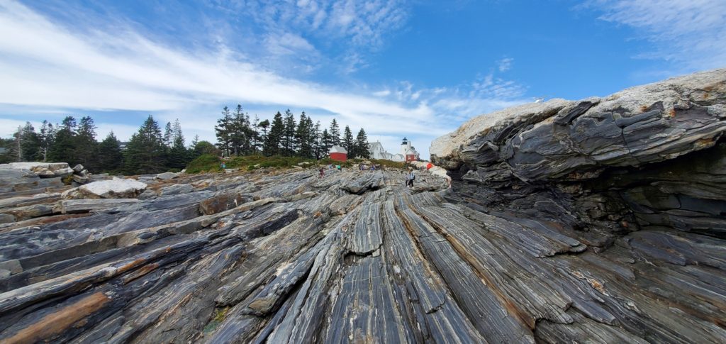
Pemaquid Point Lighthouse is the one you’ve been waiting for if you’d like to explore the interior of a lighthouse tower. Adults and children alike can tour the tower, but keep in mind that there is a 46-inch minimum height requirement. During open-season, the tower is open for climbing Monday – Friday 11am-5pm and Saturday – Sunday 12:30pm-4:30pm. If you miss out on the lighthouse tower, a tour of the grounds is also worth the visit.
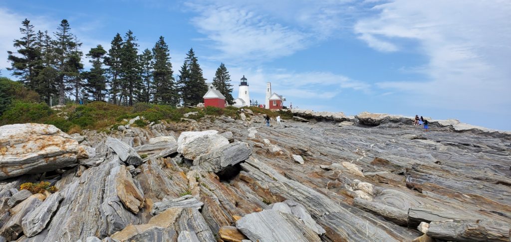
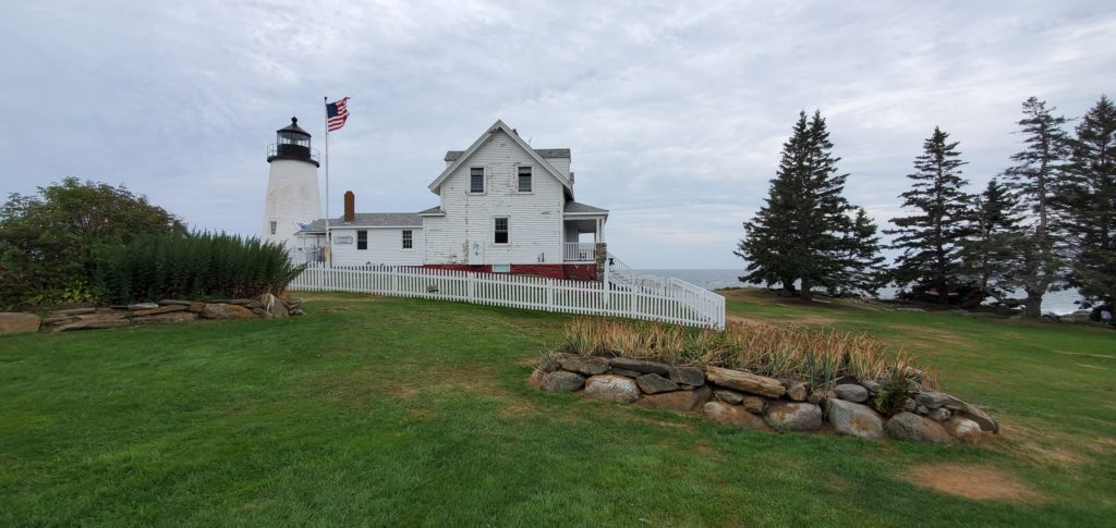
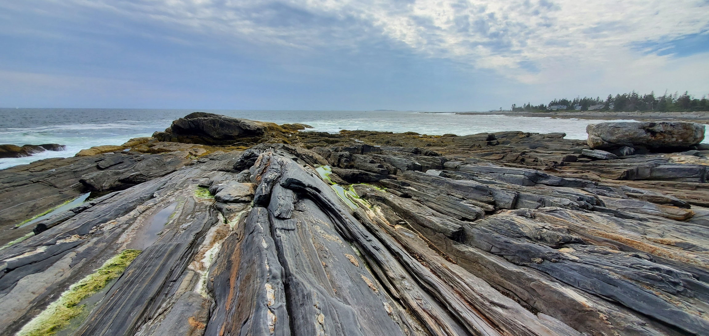
The rocky coast is very unique here, forming a gradual ramp from the lighthouse grounds right down to the ocean (absolutely no swimming though!) and makes for some beautiful pictures. Climbing up the short rock wall of the ramp affords an awe-inspiring experience of sights, sounds, and scent. From your perch above the vast expanse of ocean, everything else feels small in comparison. Again, please be mindful that the ocean can be very dangerous, so avoid climbing on the rocks when the tide is high, or in stormy weather conditions, and avoid walking on wet surfaces as they may be slippery.

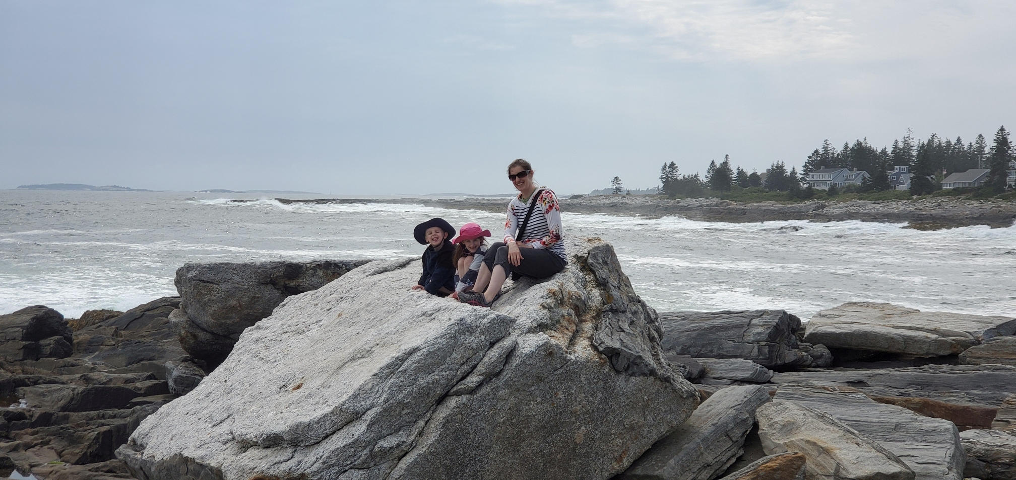
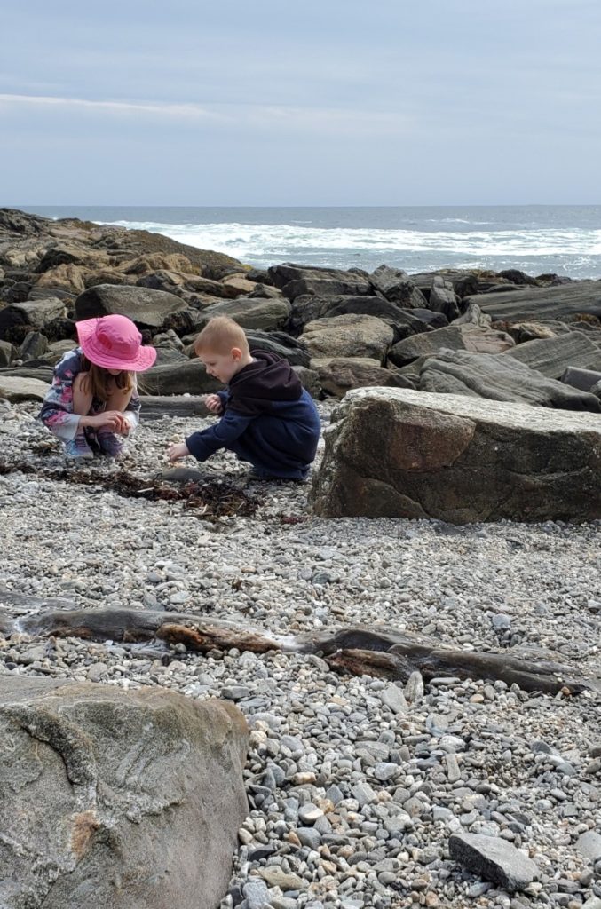

Other attractions within/near the park:
- Lighthouse Cove, nestled between the rock ramp and the mainland boasts a rocky beach that children love to explore.
- The SeaGull Restaurant & Gift (next to park)
- Learning center
- Art gallery
- Fisherman’s Museum
- Picnic area
- Restrooms
6th Stop: Owls Head Lighthouse
Cost to Visit Grounds: Free
Location: 186 Lighthouse Rd, Owls Head, ME 04854
GPS Coordinates: 44.0921679, -69.0441105
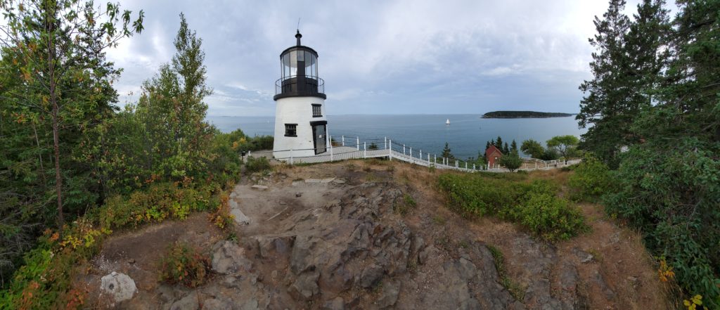
Get excited for the climb up to the next lighthouse on the list, Owls Head Lighthouse. Perched high above the eastern coast, visitors that take the flight (of stairs) are rewarded with an expansive panoramic view of the Atlantic Ocean and nearby Monroe Island. The grounds are open to the public and the lighthouse is open on selected days from Spring through Fall.
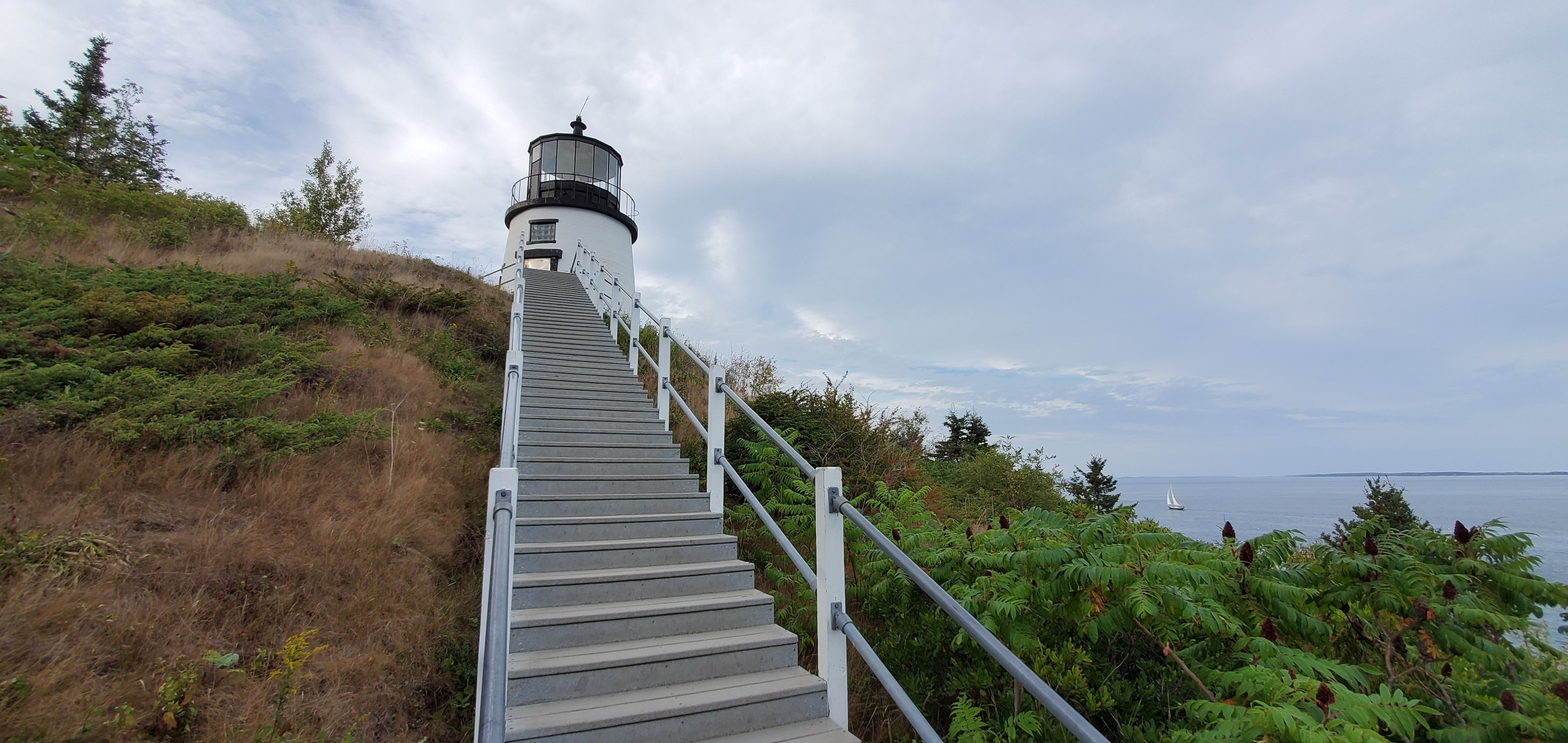
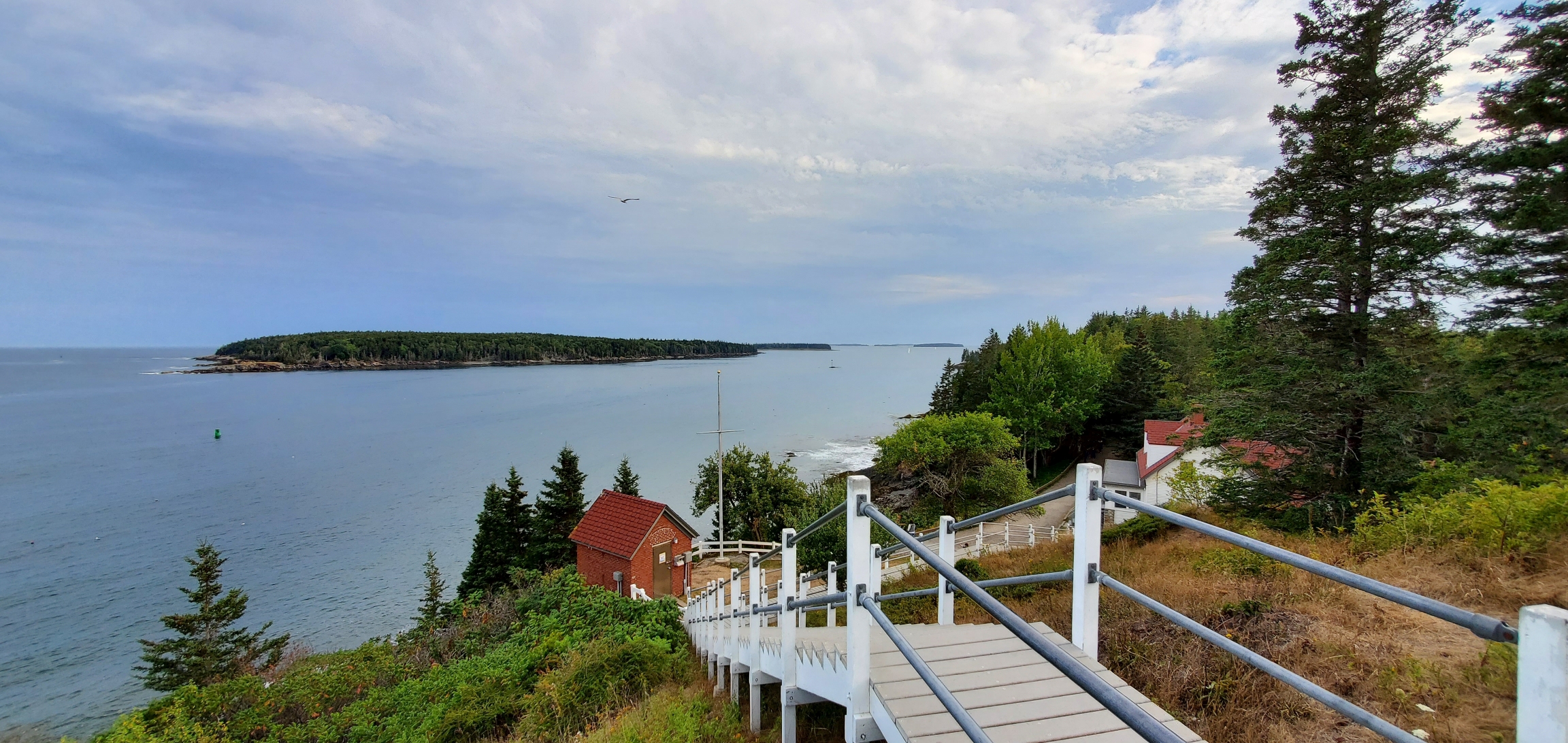
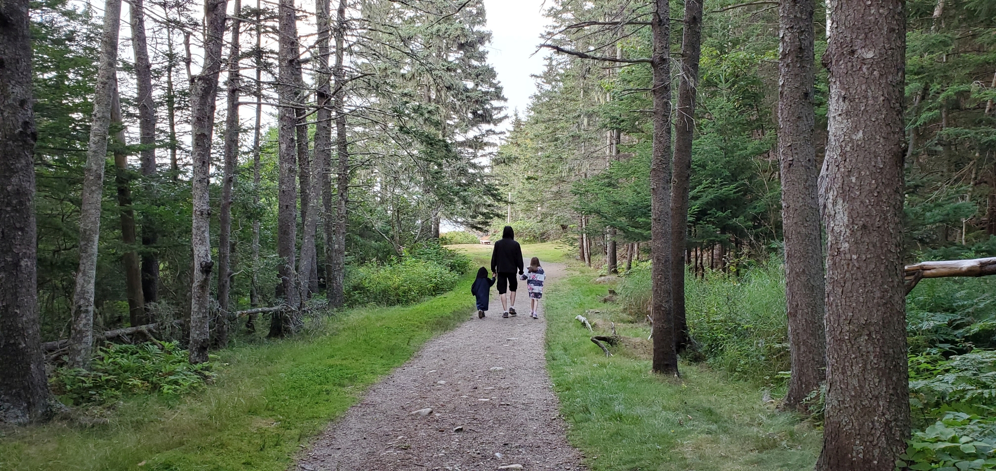
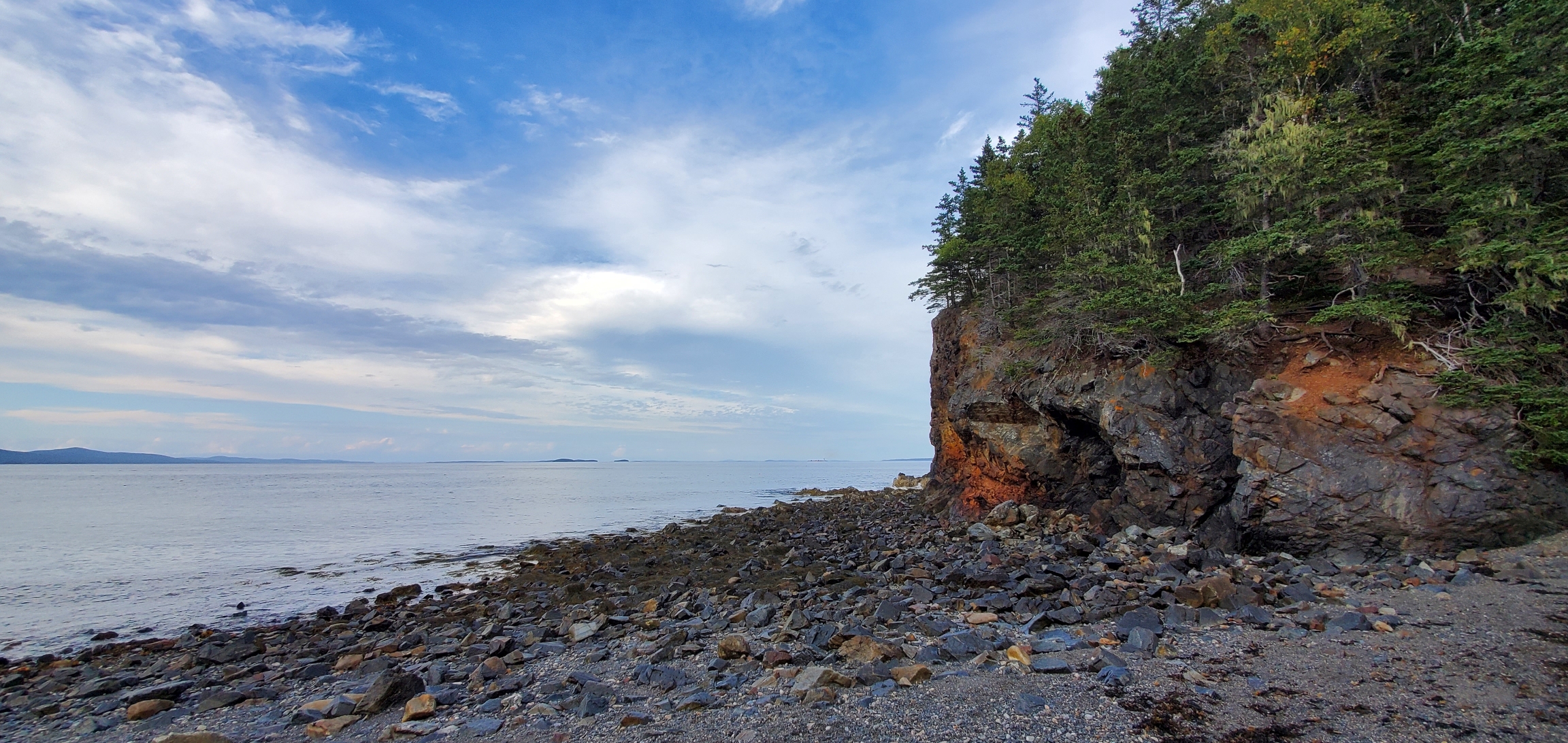
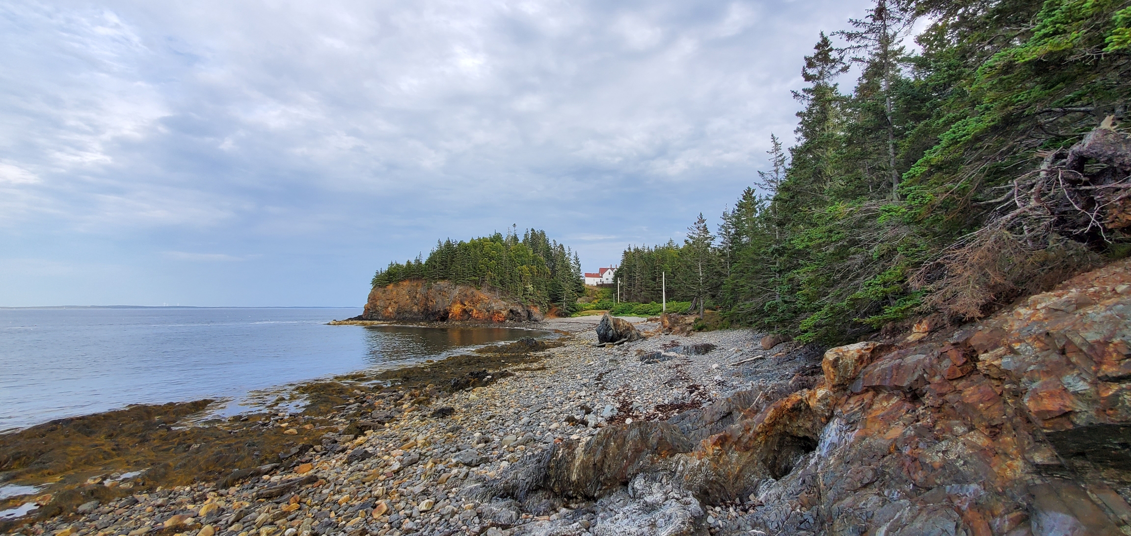
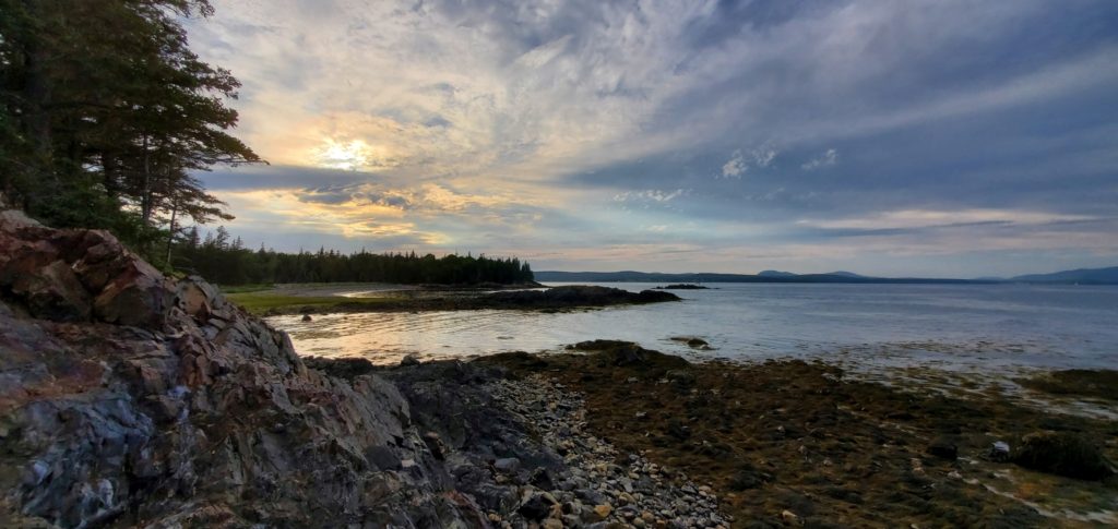
After exploring the lighthouse, take the trail from near the parking lot down to the adjacent beach area. There are picnic tables available near the beach on a grassy area, so bring lunch and enjoy the serenity of the ocean. Although the lighthouse isn’t very visible from the beach, it’s still worth the trek down to have a look around. We walked to the end of the beach and climbed the rocky craigs there to get a view up the coast. The spectacular view was more than worth the effort. From this point, you may also catch a glimpse of the next lighthouse on the tour: Rockland Breakwater Lighthouse.
Where To Stay The Night: Thomaston, ME
Day 3
7th Stop: Rockland Breakwater Lighthouse
Cost to Visit Grounds: Free
Location at GPS coordinates: 44.104031, -69.077487 in Rockland, ME 04841
Parking Lot GPS Coordinates: 44.1158832, -69.0845411
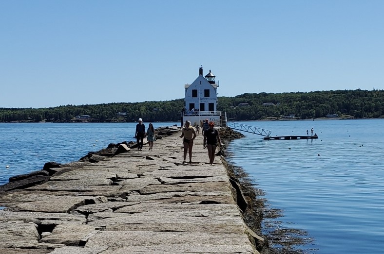
It can be a hot one during summer months! Walking out to the Rockland Breakwater Lighthouse can be a doozy if the sun is out since there’s little shade to be had. From the designated parking area, it’s about a 400-foot walk along the beach to the start of the breakwater that leads out into the harbor.
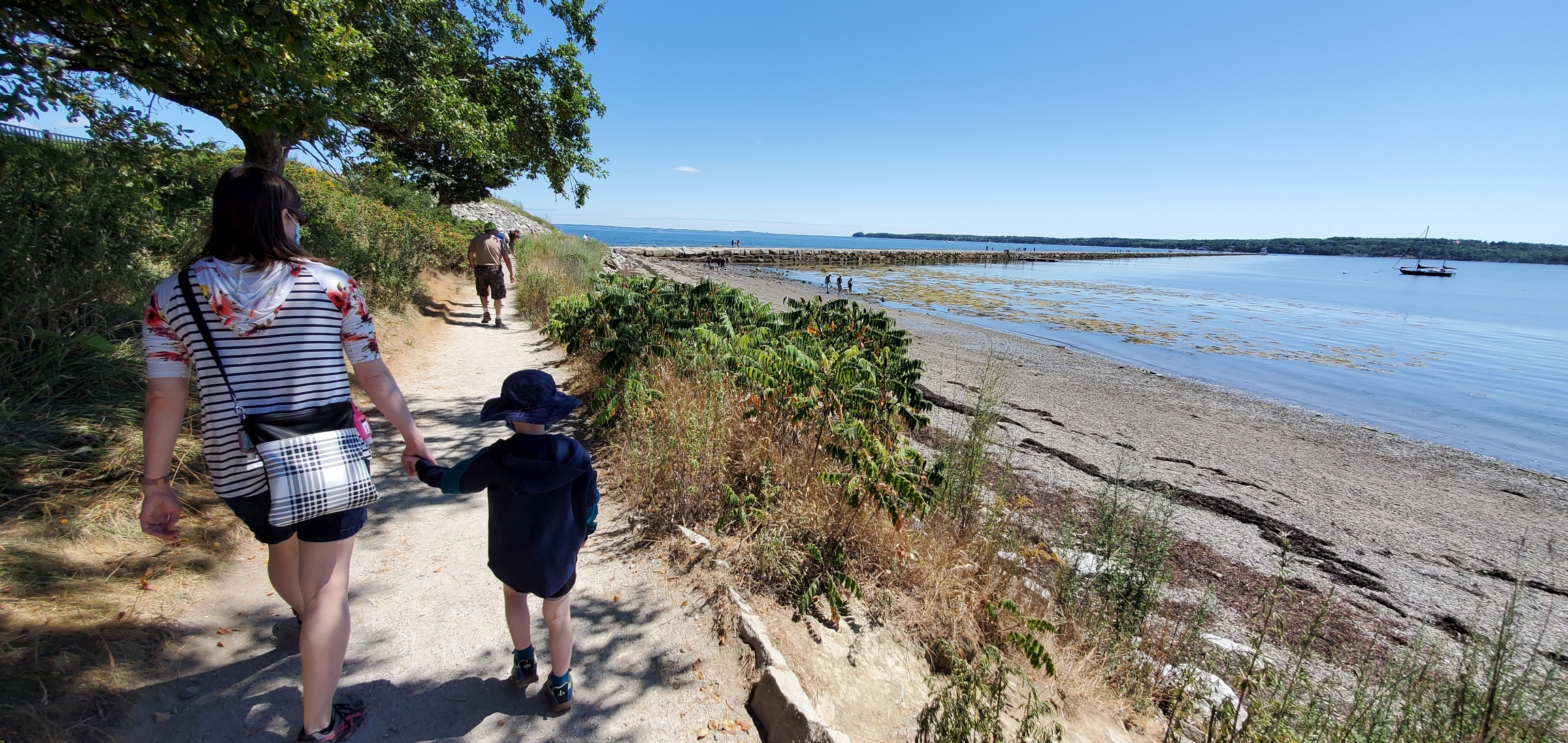
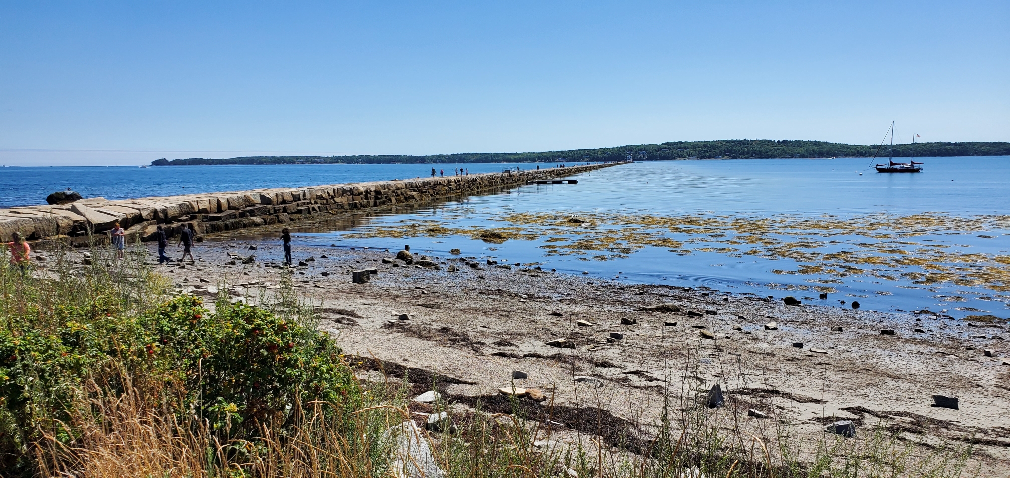
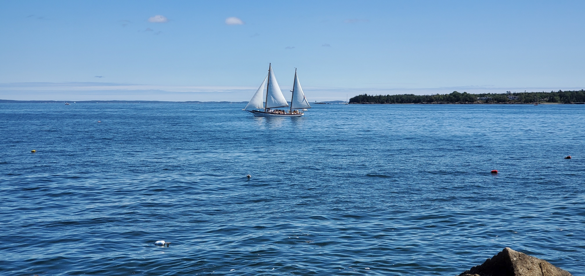
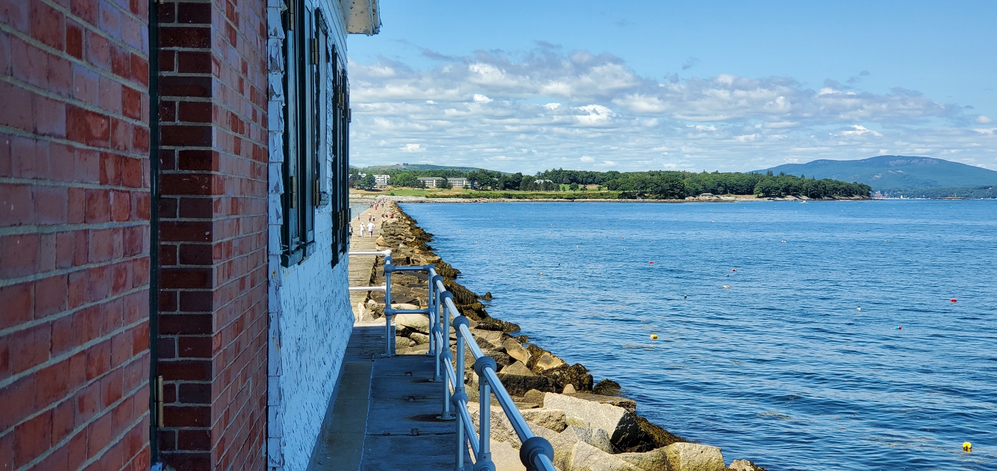
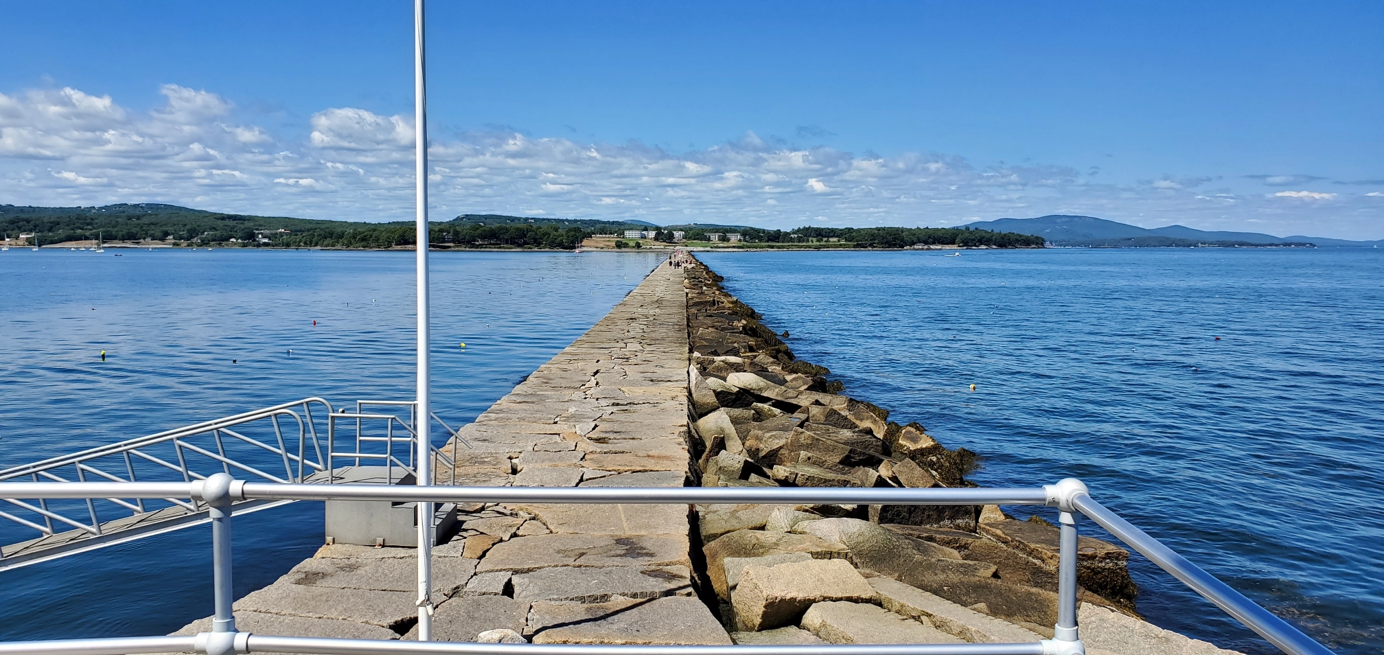

The lighthouse is located at the end of a ⅞-mile long breakwater made of 700,000 tons of large flat granite stones. They don’t fit together perfectly, which can make for a treacherous walk for anyone not paying close attention. Know that some of the gaps can be large enough for a foot to fall through, but don’t let that deter you. The walk is good exercise, and once you make it to the lighthouse you will be rewarded with a panoramic view of the harbor. You can even catch a glimpse of the previous lighthouse on the itinerary, Owls Head Lighthouse, to the south east. Well prepared visitors should wear comfortable well-fitting shoes for safety.
8th Stop: Mt. Battie Tower - located within Camden Hills State Park
(FULL DISCLOSURE: **NOT a lighthouse**, but still a highly recommended stop)
Cost to Visit Grounds: Fees range up to $6 per person depending on age or Maine residency
Location: 280 Belfast Road, Camden, Maine 04843
GPS Coordinates: 44.2228034, -69.0691647
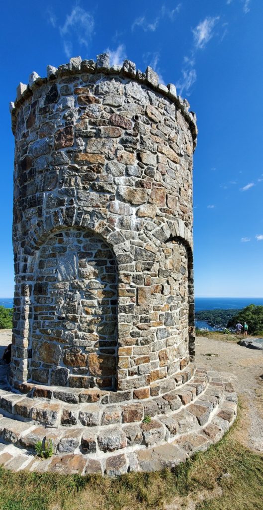
It’s time to venture out on a side quest to Mt. Battie Tower, which is a ‘high payoff for minimal effort’ stop on the itinerary. Although it isn’t technically a lighthouse, the view from Mt. Battie Tower is not to be missed. The tower itself is reminiscent of the lighthouse towers along the coast, but absent the light. During our visit, the stairway up the tower was closed to the public, but that was due to the pandemic. Even without the option to climb to the top, the breathtaking view beyond the tower is still well worth your time.

Upon arrival in Camden, you can choose your own adventure: the easy way or the hard way. Either drive up the Mt. Battie Road in Camden Hills State Park, or hike 56 minutes (round trip) on the challenging trail to the summit of Mt. Battie (780-foot elevation gain). Along this rugged terrain, you’ll encounter areas on which you’ll have to scramble up steep rocky slopes (and back down on the way out), so hiking boots or other footwear with good tread is a necessity. The trailhead is located at 57 Megunticook St, Camden, ME 04843 (GPS coordinates: 44.2164626, -69.0698574), and is limited to enough parking for approximately 8 vehicles.
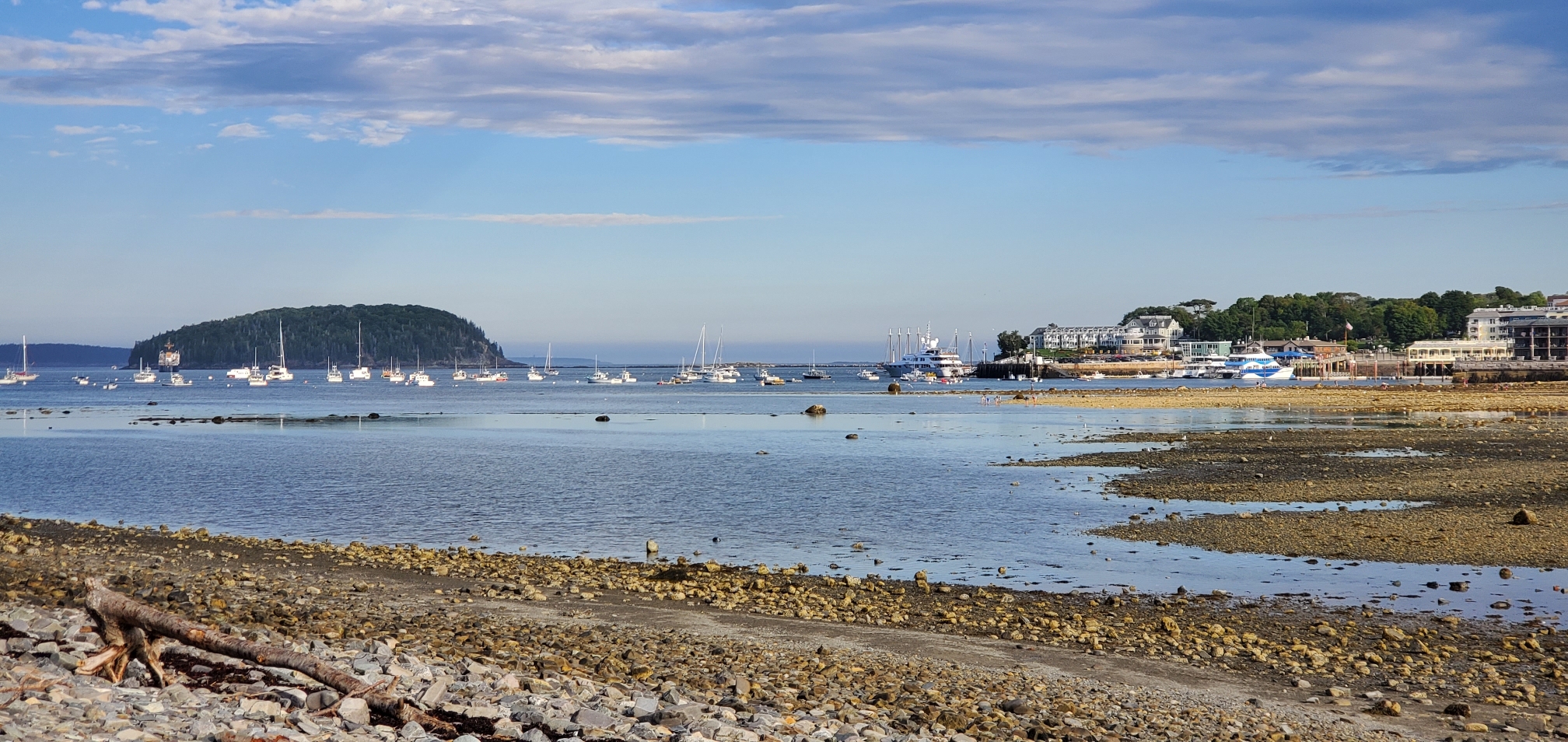
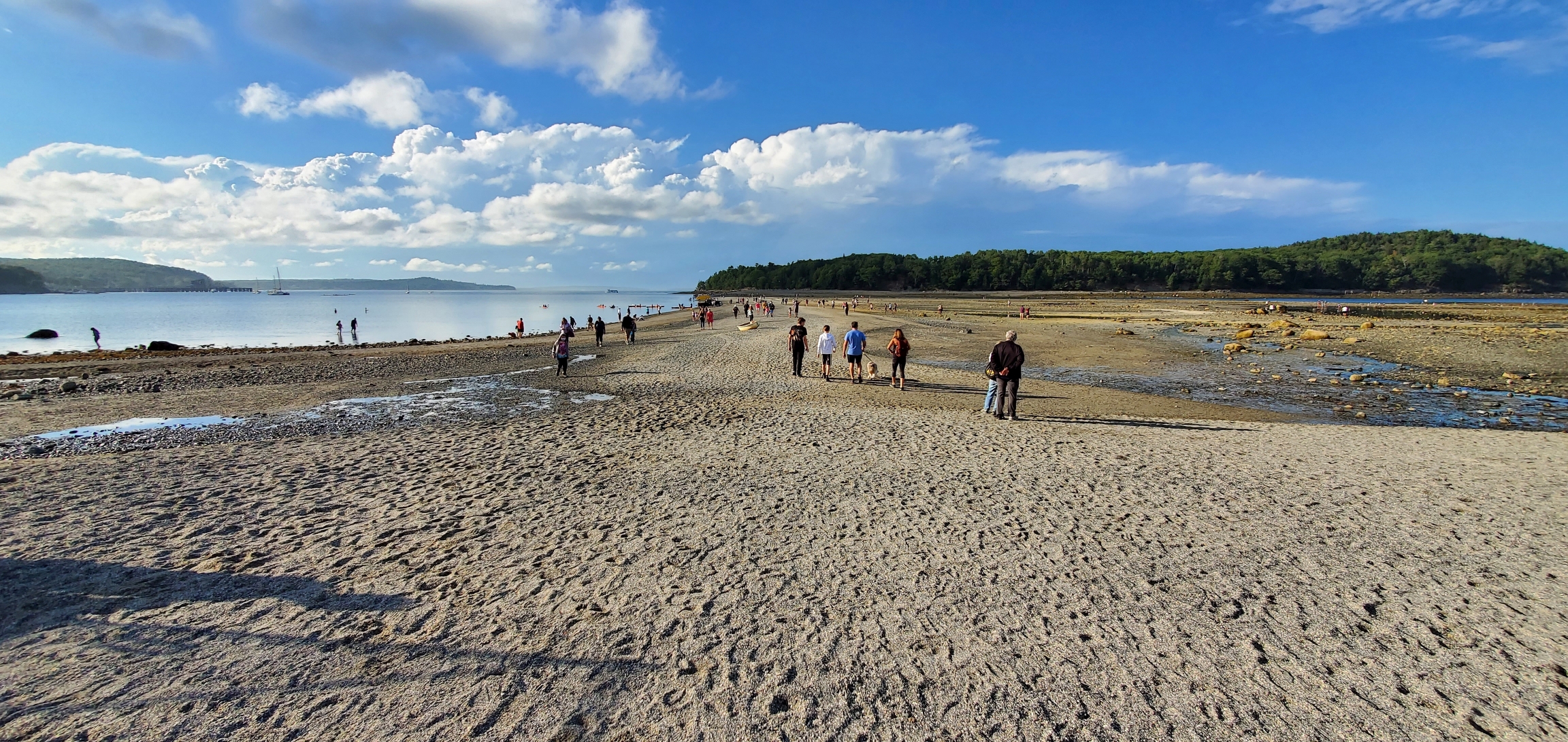
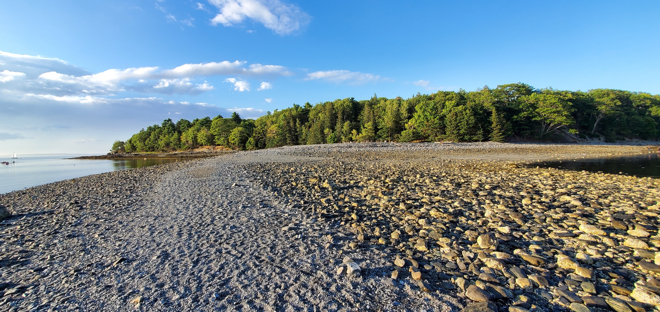
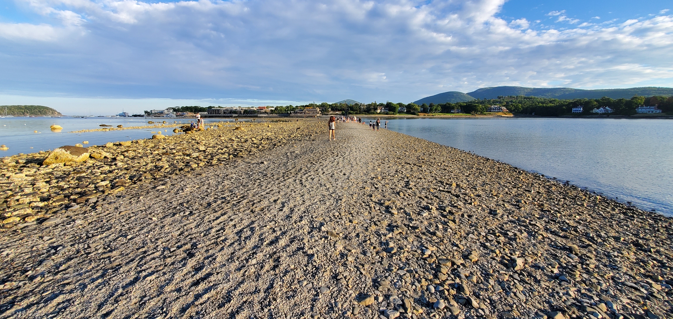
Where To Stay The Night: Bar Harbor, ME
**Bar Harbor (Optional trip extension - if you have more than 4 days available)
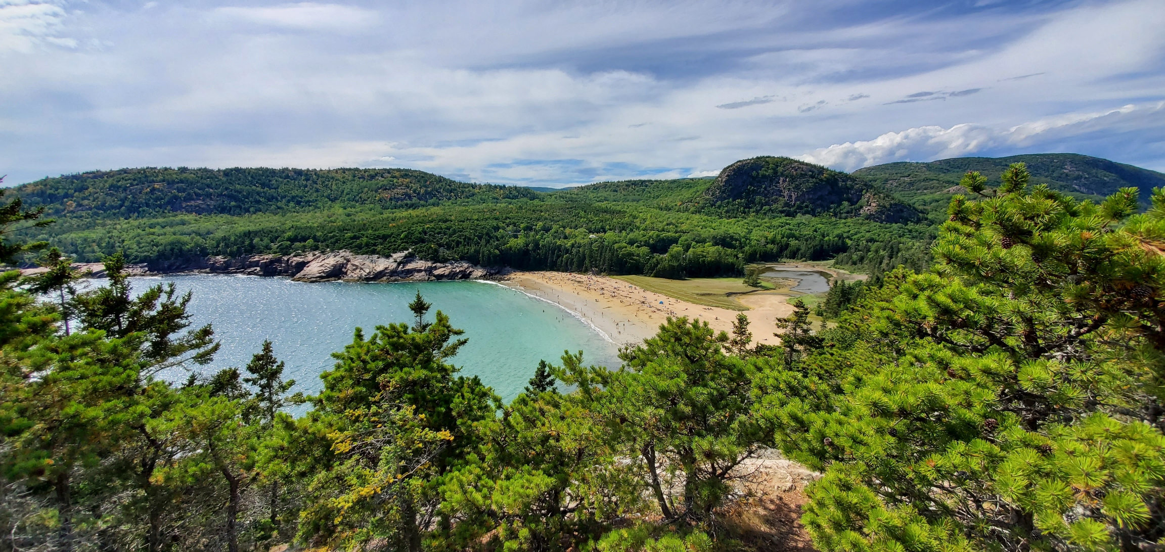
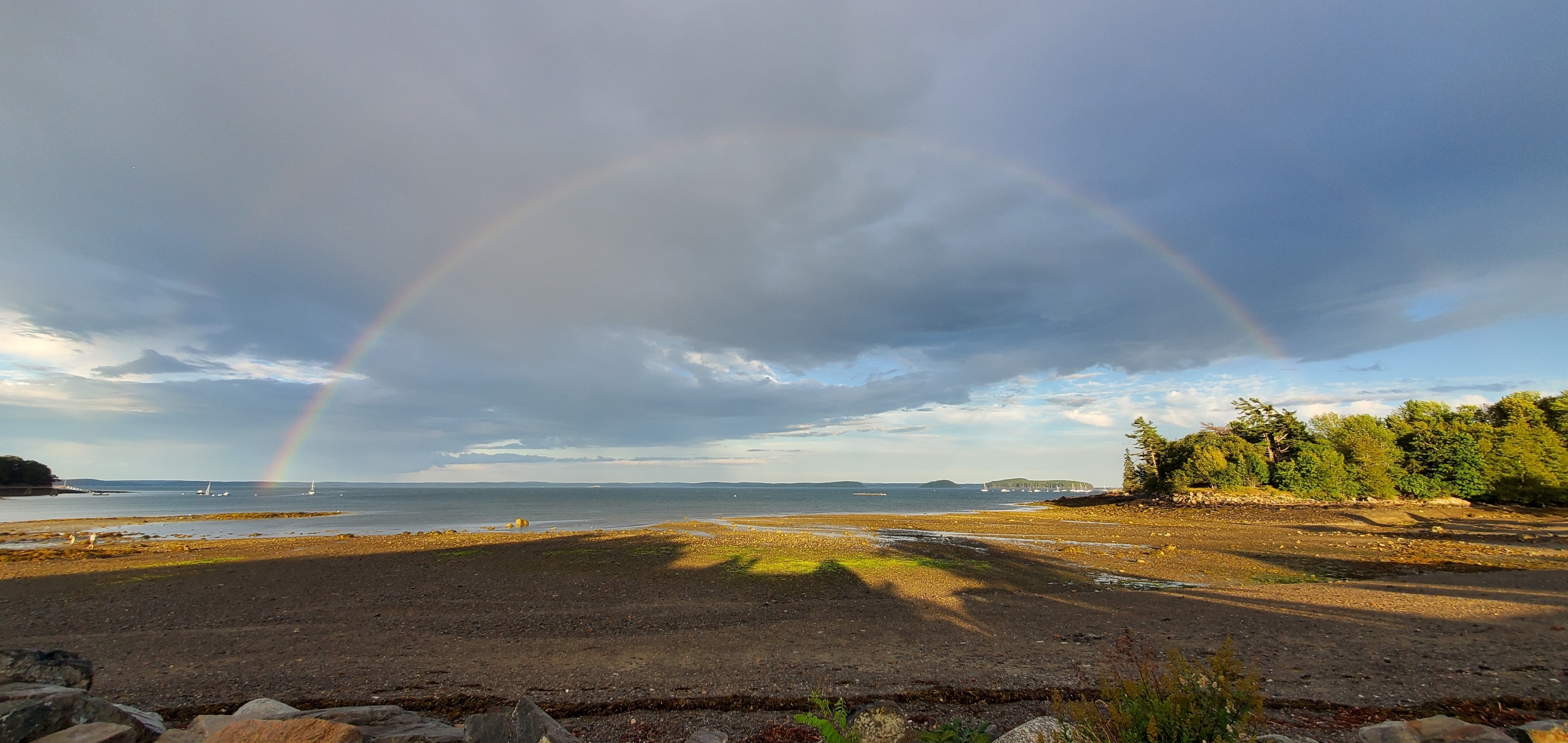
At this point in the itinerary, you can choose to add Bar Harbor and Acadia National Park to your route since the next lighthouse on the list (Bass Harbor Head Light Station) is located within the boundaries of Acadia National Park. Outdoor enthusiasts will be remiss to allow this opportunity to slip by as there are ample opportunities for hiking and wildlife sightings in this pristine park. Click these links for more information on Bar Harbor and Acadia National Park (forthcoming).
Day 4
9th Stop: Bass Harbor Head Light Station
(located in Acadia National Park - if you have extra time, spend a few days exploring Acadia National Park)
Cost to Visit Grounds: Entrance fee ranges up to $30 into Acadia National Park
Location: 116 Lighthouse Rd, Bass Harbor, ME 04653
Parking Lot GPS Coordinates: 44.2219747, -68.3372747
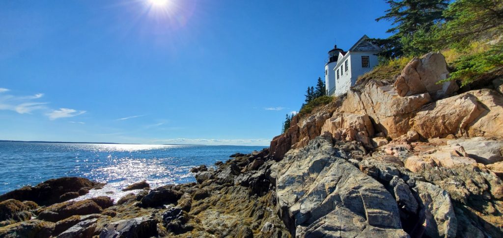
According to the National Park Service website, Bass Harbor Head Light Station is the most visited location on the west side of Mount Desert Island. On July 8th, 2020, the Bass Harbor Head Light Station became one of three lighthouses owned by Acadia National Park. It had been owned by the Coast Guard prior to being transferred to this National Park at no cost. Visitors to the lighthouse will find a small parking lot at the end of Lighthouse Road. Be prepared to wait patiently for a spot to open because it is not permissible to park along the side of Lighthouse Road. Since this is one of the most visited attractions in Acadia National Park, parking can be scarce, especially during sunset when people flock down the lighthouse trail to the coast for a spectacular sunset view.
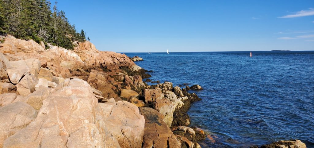
A short walk along the Bass Harbor Lighthouse Trail brings you out to the very rocky coastline where you can snap some beautiful shots along the jagged coast. Use caution climbing over these uneven rocks on your quest to view the lighthouse as it can be dangerous for the very young or the elderly traveler. Be confident that you know your own limits before attempting this portion of the trail.
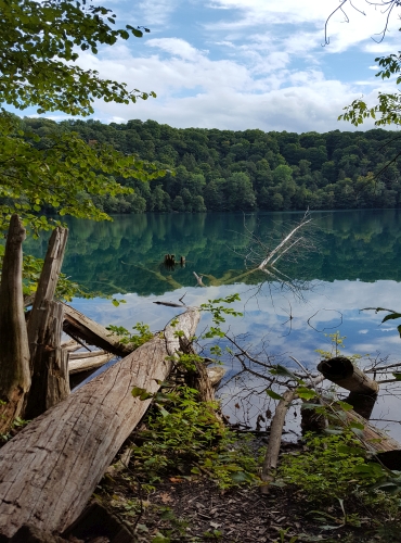
During our stay near Bass Harbor Head Light Station, we stumbled upon the stunning Hamilton Pond on Norway Dr just south of Bar Harbor Rd (State Route 3) at GPS coordinates: 44.4269460, -68.2844013. The calm peaceful pond is speckled with beautiful lily pads and is a wonderful spot for pictures. Early morning hours before the heat of the day sets in is the best time to catch a shot of the lilies in their fully open glory. Hamilton Pond also offers unique sunset pictures too so make sure to stop here at least twice during your trip if you have extra time.
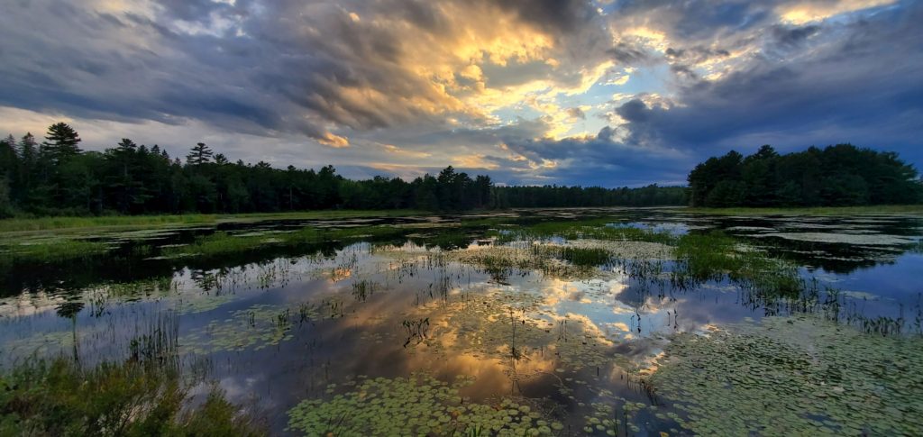
Hamilton Pond
Just a little ways west on Bar Harbor Road (State Route 3) at the Mt. Desert Narrows stream located at GPS coordinates 44.4248019, -68.3269569, there is an epic marsh landscape for photographing the perfect sunset. Unfortunately, there’s no parking lot here so use caution while stopped on the shoulder of the main road.
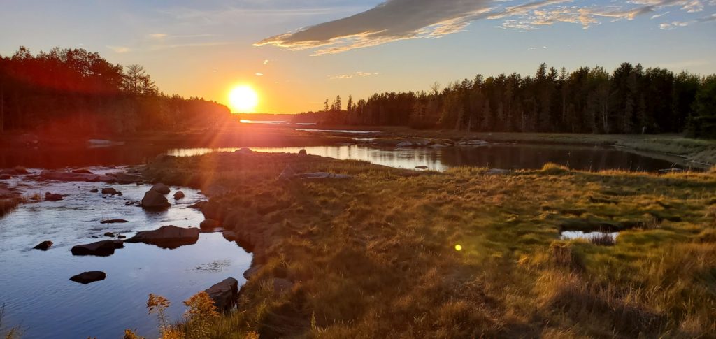
Mt. Desert Narrows
10th Stop: West Quoddy Head Lighthouse
Cost to Visit Grounds: Free
Location: 973 S Lubec Rd, Lubec, ME 04652
GPS Coordinates: 44.8151279, -66.9504248
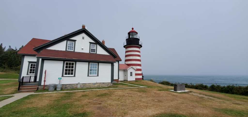
West Quoddy Head Lighthouse is located on Quoddy Head State Park at the easternmost point (yes, you read that right) in the United States despite what the name may imply. The lighthouse was built to guide ships through the Quoddy Narrows which are east of the lighthouse itself. Perhaps it was named such because crew on the ships navigating the narrows looked west toward the Quoddy Head Lighthouse. That’s my guess anyway. When you first drive up to the parking lot, this magnificent iconic red and white striped lighthouse stands tall before you with a stunning ocean backdrop. Don’t forget to take a picture with the carved stone erected by the West Quoddy Head Light Association (WQHLA) in commemoration of your visit to the easternmost point in the US.
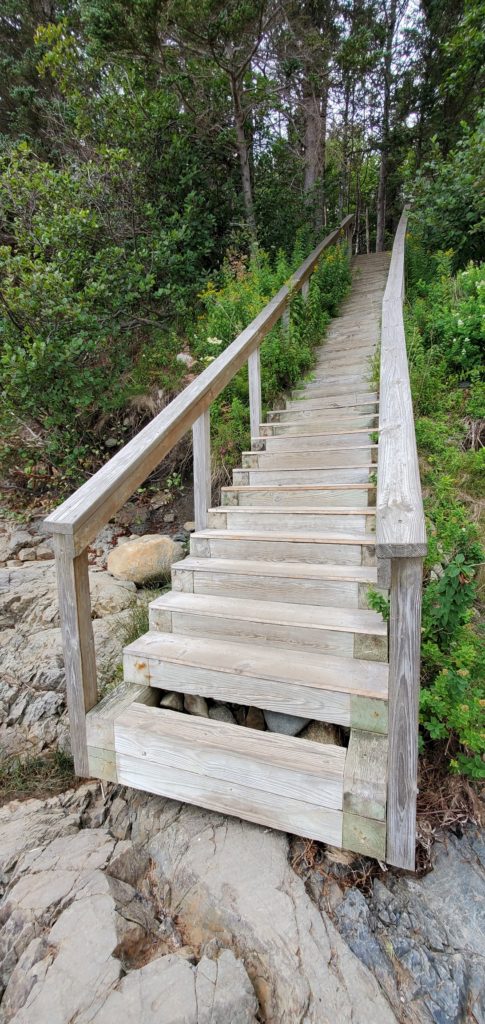
After exploring the area around the lighthouse, consider taking a walk down the trail toward the second parking area where you can take the wooden flight of stairs down to a rocky beach. At the beach, walk north, back up the coast and you’ll be rewarded with a view of the lighthouse from a new perspective.
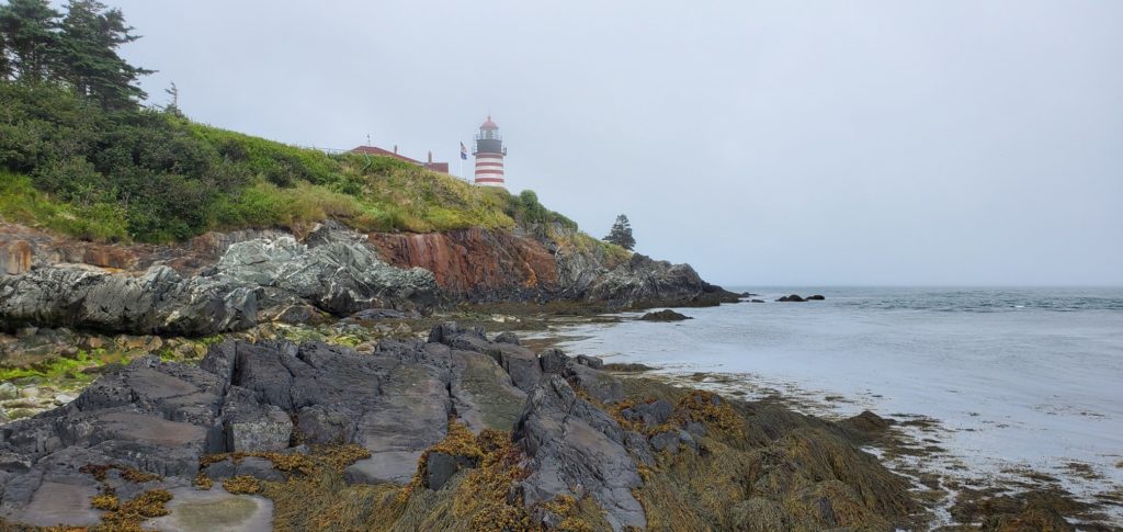
A word of caution: be careful with your cell phone service. The West Quoddy Head lighthouse is so close to Canada that when we visited, our cell service switched over to Canadian cell phone towers. If you don’t have international coverage, make sure to avoid any charges by placing your phone in airplane mode while you’re there. Also note that the area can become foggy and chilly (even in August), so bring a light jacket to keep warm.
Another scenic point in the area is Gulliver’s Hole, which can be reached from the southwest parking lot by taking the trail heading southwest down the coast (approximately 1000 feet). It offers some additional and interesting views of the rocky coastline as you explore around the area.
Safety Reminder Tips
Always check the weather forecast before your coastal visits because these places can be dangerous during stormy weather. Don’t venture out close to the ocean during rough seas and keep a close eye on your children at all times. Take extreme care to avoid falling from rocky outcroppings while exploring your destinations. Wear appropriate footwear for climbing on coastal rock cliffs and rocky beaches.
Honorable Packing List Mentions:
- Binoculars
- Fishing pole
- Scuba gear
- Dog leash
- Sweater/hoodie
- Hiking boots and socks (wool)
- Bug spray
- Sunscreen
- Backpack for refreshments
- Hat and sunglasses
- Cooler
- Headphones
- Kids tablets for the road trip
- Portable “emergency” urinals (you’ll be sorry if you don’t)

